Making The Maps
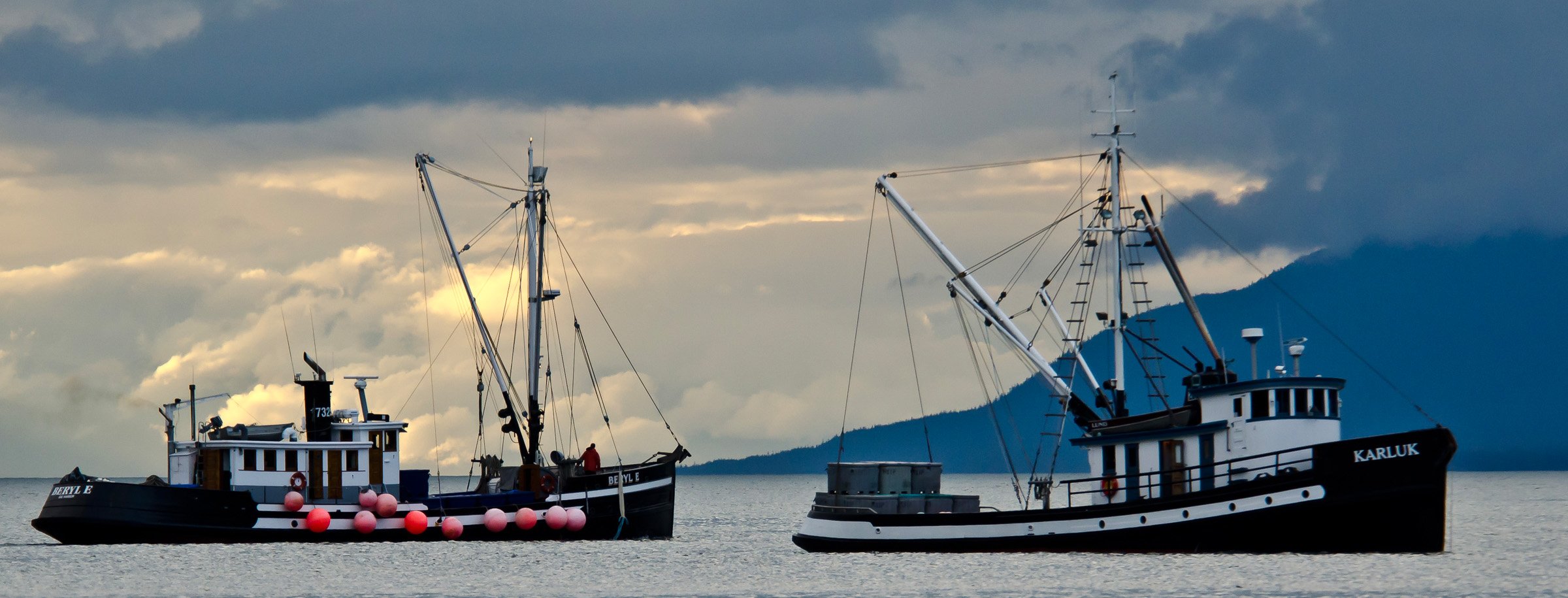
When I prepared my 32’ salmon boat for a long Alaska season in those days before GPS made navigation so easy, just the Seattle to Alaska charts was a pile 2” thick. Then the textbook thick Coast Pilots - for both British Columbia and Alaska, light lists (another whole volume) and finally tide tables. And that was just the navigation stuff. Then there was food, clothing, fishing supplies, spares - all that multitude of things you needed for a long season in Alaska far from towns and stores.
A day’s travel north from Seattle we would disappear into the wilderness of waterways and islands that is coast of British Columbia and Southeast Alaska. More than a trip, it was a journey: 7 days of steaming just from Seattle to Ketchikan. We would only travel daylight hours - too many logs in the water for nighttime travel - anchor evenings in remote anchorages or tiny native settlements. Friends would raft up together, the rum bottle would come out and the stories would flow.
Navigating was challenging - the traditional small craft route twisted among islands; carelessness or inattention could end your season long before you got to Alaska.
We’d leave Seattle in May, when the days were long, return after Halloween. By then, the weather would have turned and the days much shorter - that weeklong trip in the spring might take three in the fall. We’d come home, winter money in our pockets, settle in for the long, dark days. But then finally the days would start to get longer and Alaska would call us.
Then in the 1980’s a couple of huge changes. First there were the GPS plotters - amazing pieces of electronics that showed your position as an icon of a boat moving around an electronic map - you didn’t need charts or tide tables or light lists. A decade or so later, you could get to Alaska with a plotter app on your smartphone.
And the cruise ships: immense and within a few years, many. Making that passage that took us a week in 36 hours. I’d see them and wonder: those million or so visitors that steam up and down the Inside Passage so smoothly and easily each year: did they learn about the history of the coast, the struggle of the early settlers, the challenges that we in our little boats faced? So I spoke with visitors off the ships, quickly understood that a) there was no easy way to find out where their ship was among the myriad channels and islands, and b) there were no easy access to the rich stories the coast was full of.
By then I knew the Inside Passage intimately, had written two books about it. A map seemed like the logical next step. But in those early digital days there were no electronic maps of the Inside Passage. So I dug out my old charts, tediously scanned and patched the images together.
Those charts were old friends - I’d mark places and times as we traveled. As I studied a chart to use for the new map, I might see a favorite anchorage marked with, “Nov 1, 1974” and remember, “Wow, that was a nasty trip home – first of November and barely halfway..!”
At last, with an accurate base map I could add all the interesting information and stories that I could fit in. It was an exciting and challenging process - trying to remember decades of stories and adventures while learning a vector-based drawing program.
But what emerged was genuinely thrilling - an illustrated map that allowed me to share the drama and the legends of the coast with visitors.
Next I had to figure out a way for users of my new map to easily find out where they were. I knew a ship announcement like, “We’re passing Point Barrie in Sumner Strait,” wasn’t enough. But then: a Eureka! moment: put the usual cruise routes on the map and number them in Miles from Seattle. This would allow staff to announce position by number, for example, “You are now at Mile 745, the roadless community of Point Baker, home of its infamous floating bar and where your mapmaker built a cabin in 1973.”
The maps were immediately popular, some small cruise lines giving them to their passengers; on the big ships passengers would tape the maps up on their balconies to follow their route.
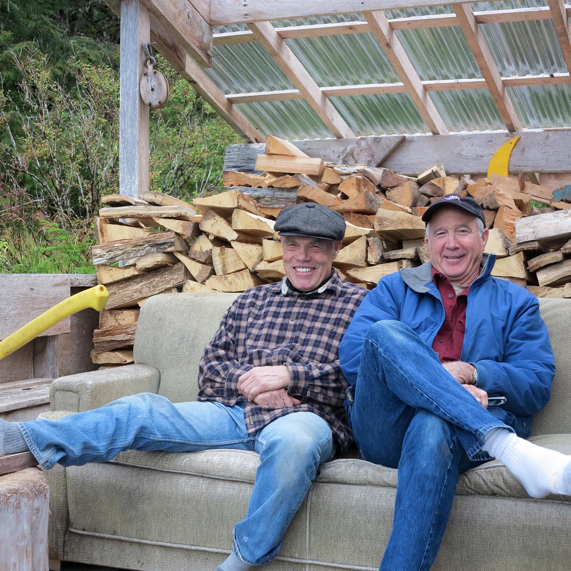
Then a potential game-changer. I met fellow fisherman and filmmaker Dan Kowalski, who had a salmon boat and a small homestead near Petersburg, Alaska. We decided to combine our talents and Alaska knowledge to create a series of short, 3-5 minute videos featuring us telling stories and then somehow make them accessible to map purchasers.
With some forty plus years of Alaska experience between us, we both had a deep appreciation for the forests, the ice, and the myriad waterways; we both had sought Alaska’s hidden and secret places. But making the videos - spending time in the ice and rarely visited and little known places was a source of deep inspiration for us, evident in the videos we created.
One episode stands out. We’d been filming among the icebergs in Le Conte Bay - never visited by big ships because of its shallow entrance. Thinking we’d anchor for the night, dusk deepened into dark. But then realizing how fast the tidal current was moving the big bergs, we decided it was too dangerous and set out for Ideal Cove, a few miles away.
By then it was the edge of night and we were surrounded by a field of bergs, large and small. With cabin lights off to preserve our night vision, we began making our way out of the Bay. The land and the water were dark, but the moon and the faint fading light of sunset filled the bergs with an eerie, almost magical light, some even tumbling silently over, disturbed by our passing. The powerful moment reminded us of what pioneer explorer and naturalist John Muir wrote about leaving Glacier Bay after he “discovered” it. (The natives from the nearby village of Hoonah had actually hunted seals there for years.)
“We turned and sailed away, joining the outgoing bergs while Gloria In Excelsis still seemed to be sounding over all the white landscape, and our burning hearts were ready for any fate, feeling that, whatever the future might have in store, the treasures we had gained this glorious morning would enrich our lives forever.”
Then along came the now ubiquitous QR code and we decided to put the codes in the corners of the newest map edition. The codes allowed map users to simply point their smart phones at the codes and voila: a moment or two later our video, sound and all, played on their phone: wow!
We felt like we’re finally achieved our goal of creating a way for visitors to easily appreciate and understand the drama and stories that we’d seen and heard in our decades on the coast.
More Stories!


